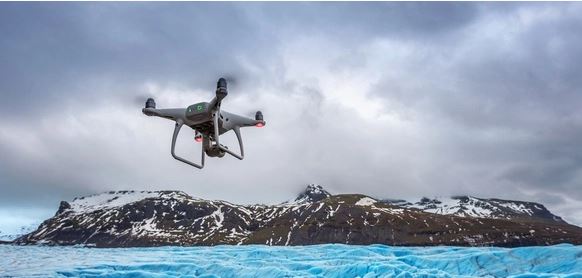
Drones are increasingly becoming more popular day-by-day as they are capable of doing anything from helping a film crew to tracking international borders. Unfortunately, as powerful as these miniature airplanes are, they’re also incredibly delicate and require special software to manage the navigation. With that software, a user gets to view a first-person video feed from a drone as well as pilot its flight. This all can be done now from the ease of your Android device.
These apps or software are the brain and body of the drone. So, this way, you can move your drones any way you want. These days it’s very clear that drones are not just used for taking pictures of a big land that you want to or have acquired. Special drones with thermal detection functions are changing the name of the game. The game we’re talking about here is changed with the help of drone software forsolar industry.
For an Android device to work with the drone, it needs to be equipped with a GPS and an accelerometer, capable of reading the measurements. This ensures the proper mapping of the area you wish to fly over.
Drone on the Go: Our Friend or Foe?
Well, if you’re away from enemy lines, a drone can be your very good friend. Everything you’ve imagined doing or everywhere you wanted to go from the space of your own home is now possible because of your little friend. Drones were invented for aerial target practice and then were very smoothly distributed to the armed national forces to do executions in remote areas. It was seen as an aerial bomb in the past but now even your 5-year-old will ask for a drone. Why? Because he wants to feel like he’s flying a plane.
Not just in a domestic setting, drones are getting more and more recognition in the business world. Drones are now used to inspect areas, analyse the readings, mark the wind flow, read the river flow, and as simple as that, click images!
Backed by the Power of The Sun: Solar Industry is on The Rise
The demand for a single individual is increasing exponentially every day. And to cater to those demands, technology is also evolving to stay in tune with the times. Solar panels on their own are as primitive as they are modern. Its first sighting was officially made in 1884 in NYC, but its footprints can be dated back to before civilization. Commercially, drones have been big for quite some time aiding several different industries. The solar industry has not been shy of the drone system as well. Modern drones equipped with a thermal camera can do wonders for the inspection of a solar farm. It’s said to increase the accuracy and speed 10-fold than what a normal worker would take. Those inspections in turn give reliable results which can maximize the output of the farm in lesser time and cost spent, relatively.
Promising the World a Better Future
The drone analytics for solar industry works differently from the analytics used in other industries. The transport industry, per se, wouldn’t need thermal imaging sensors in the drones, thus reducing the analytics load.
Now, traditionally, mapping the land for a solar farm would’ve taken a substantial amount of time, if done manually. Traversing hundreds of acres of land, conducting the painstaking process of inspection, checking everything and anything. But now with the drones, all this is done in a matter of a few minutes, or the mapping is done in real-time. Big solar farms have big turbines to generate electricity which is quite dangerous for a normal worker to reach, considering how high they can be. Even in this phase, a drone comes in handy. It may or may not be able to resolve the problem, but it can easily send its analytics to the team.
Drone software in the solar industry uses data generated by drones to help solar companies decide where to locate photovoltaic farms and how they should be managed. Other drone software in the solar sector also helps users forecast energy production, identify weather patterns, safeguard against pests among other problems.
How to Conceive and Process the Data?
There are mainly three ways to receive the data collected by the drone. These ways are-
PDF Inspection Reports
The summary of the inspection results is automatically sent to the team by the drone after the inspection.
Online Web maps
An interactive hosting platform with a mechanized interface that sends visual data of the aerial inspection results. The dataset provided is georeferenced and workable.
Field Repair Application
The repair data or instructions are sent through software apps installed on the phones of the technicians to find the malfunctioning modules. This allows the possibility of corrective maintenance or the validation of the field.
Conclusion
A drone can play various roles depending on the industry it is being worked on. We just learnt that in the Solar Industry, a drone can be used in multiple domains where the entry of a human can be dangerous or even impossible. This includes
- Site Development Planning
- Site Development Construction
- Thermal Mapping
- Geographical Scanning
- Site Inspections
- The site and Plant Maintenance
- Drone Analytics
- Roof Measurement and Inspections
- Substations Inspection
From the planning stage to the maintenance stage, none of us would’ve guessed that something as tiny and minimalistic as a drone would be helpful to oversee that. Roofs of a solar panel can be quite tricky for the workers to go and check periodically, thanks to the drone, even that task is done without moving a muscle. Well, you still have to move the muscles on your fingers to operate the app or the software. But that doesn’t sound bad at all, right? The solar industry is the future of our world because all the industries may fall or will fall, we’ll always have the magnanimous power of the sun on our side.


